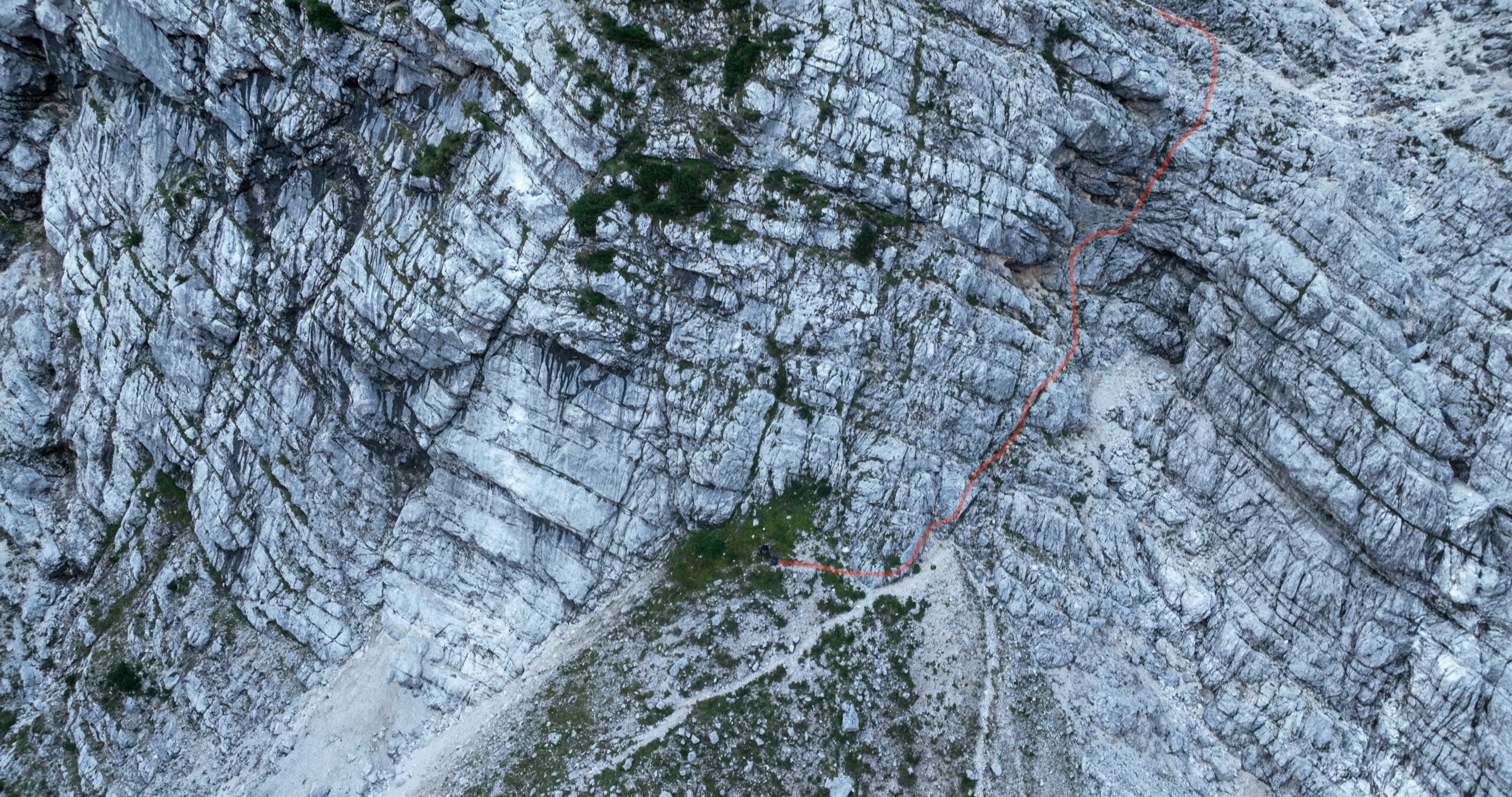
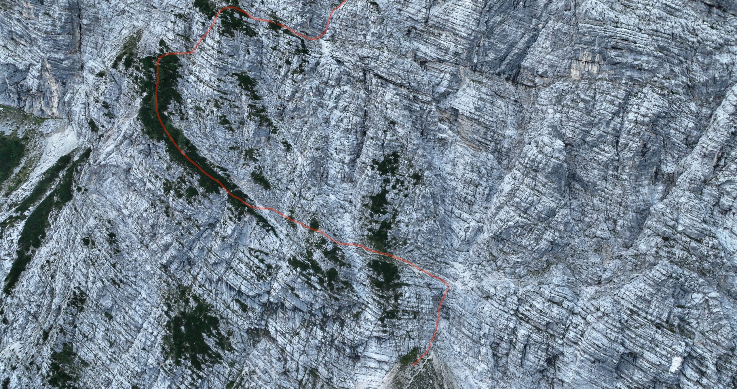
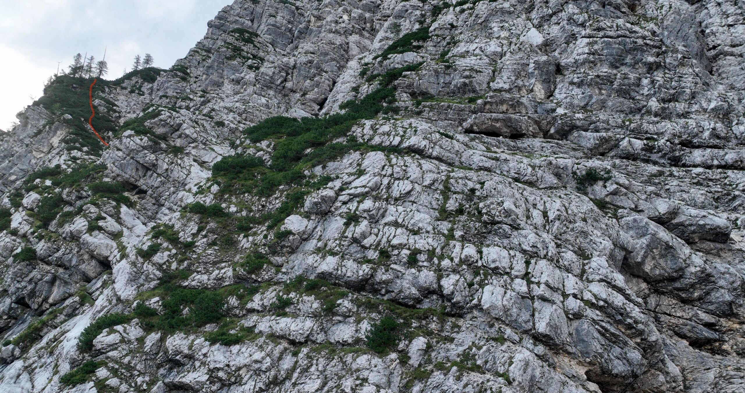
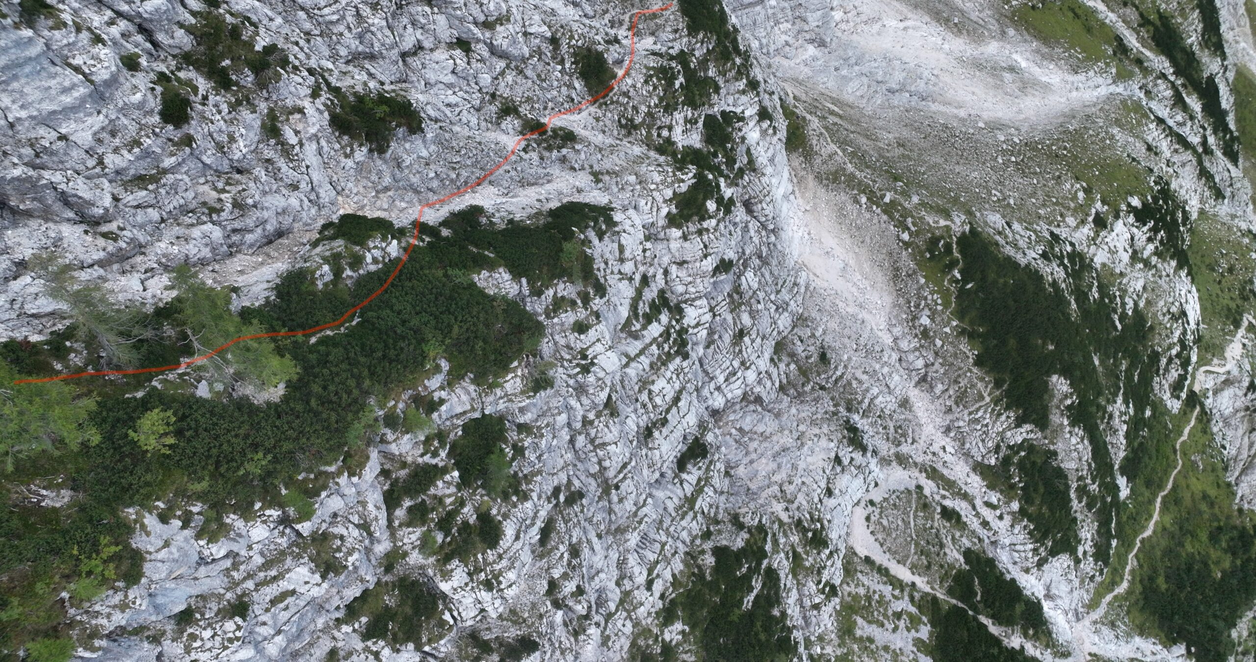
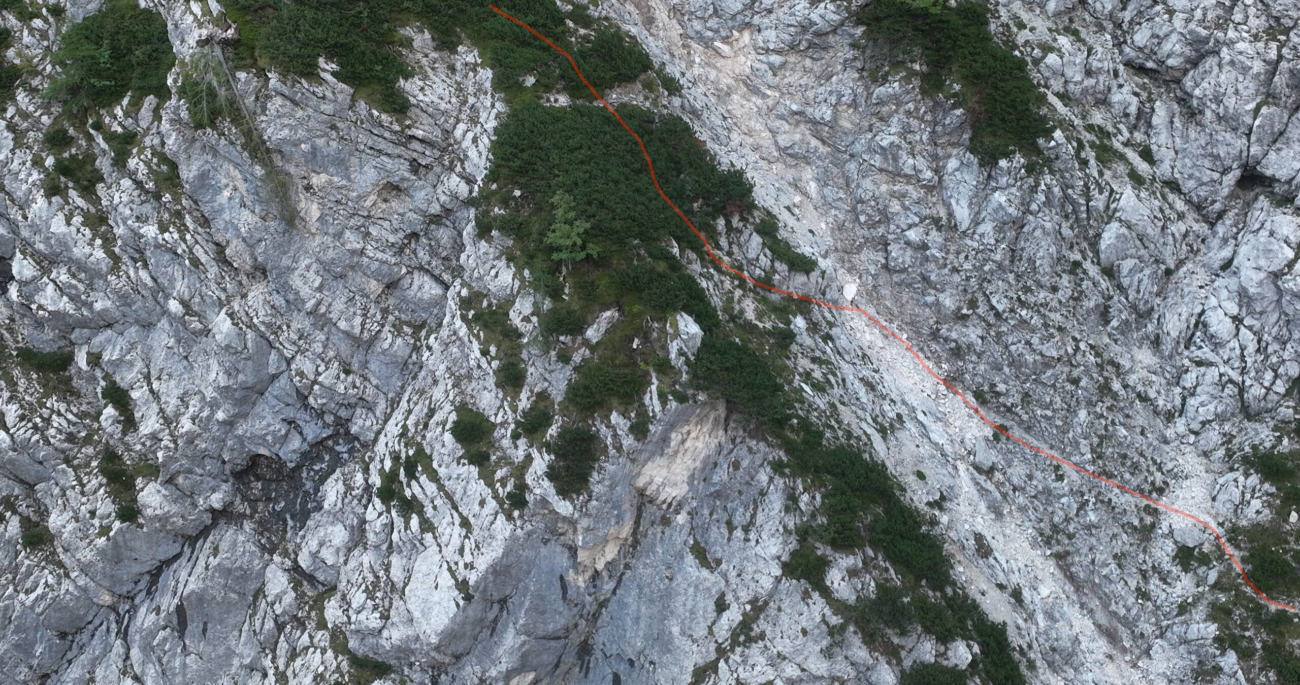
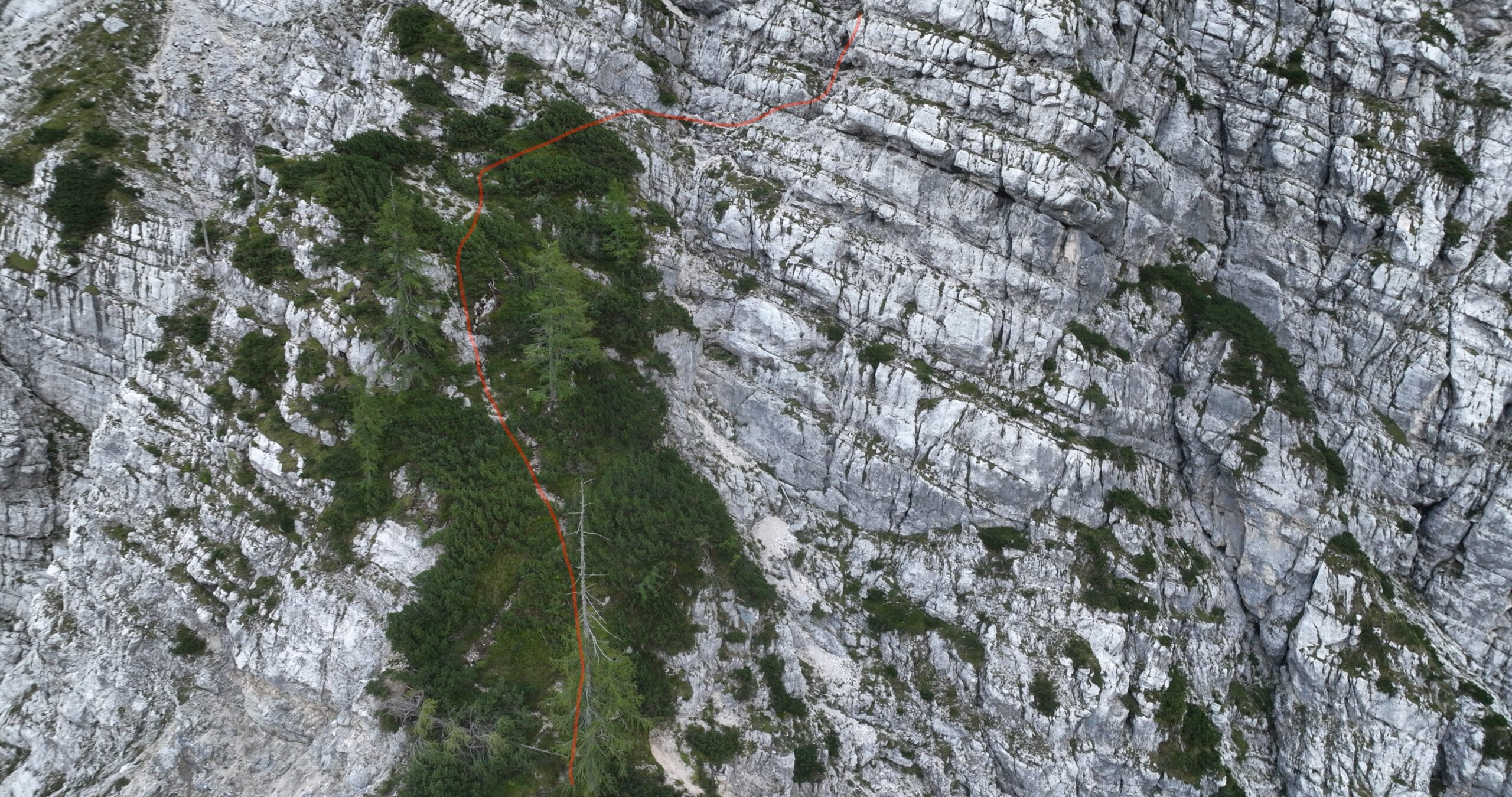
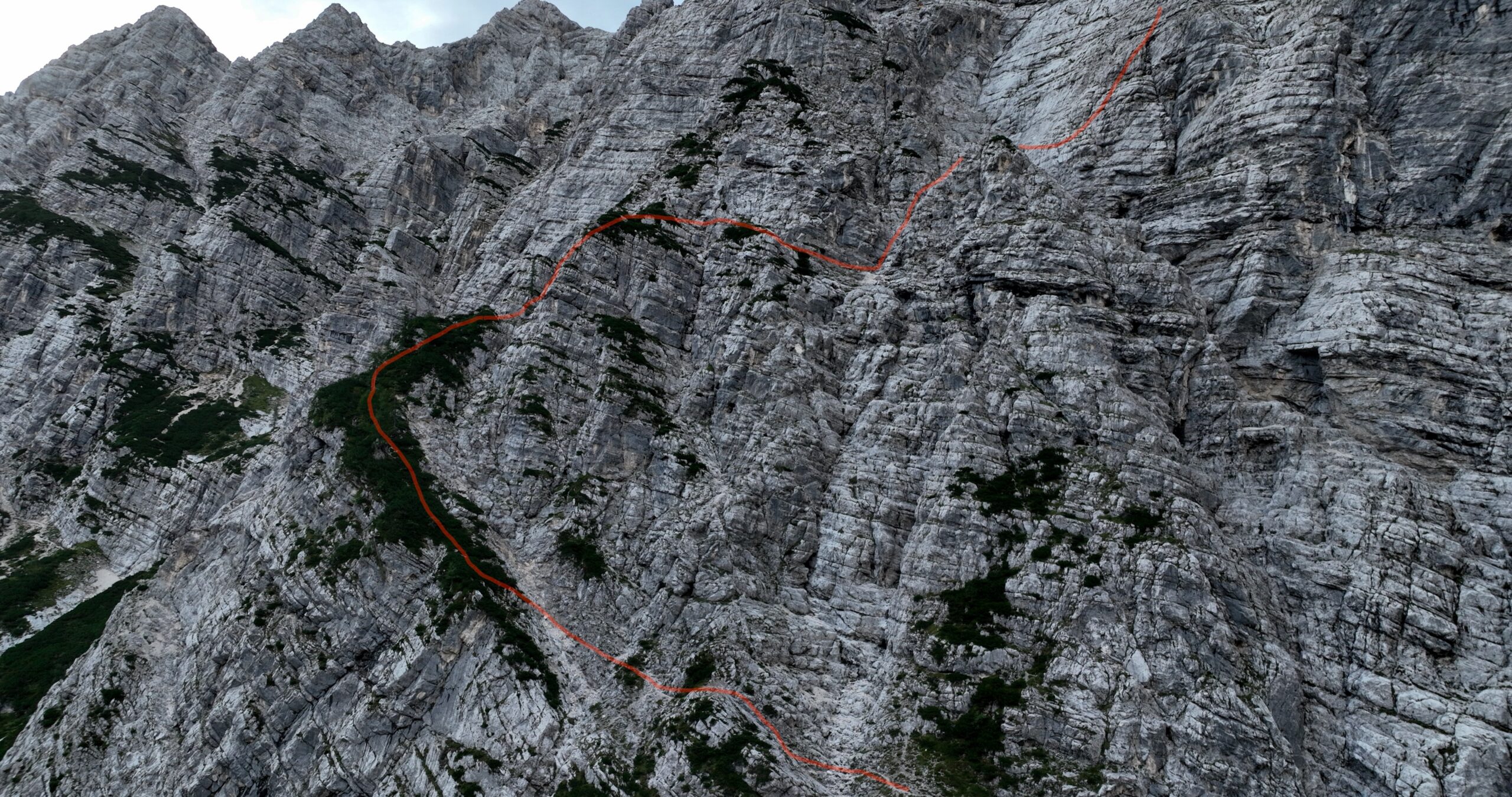
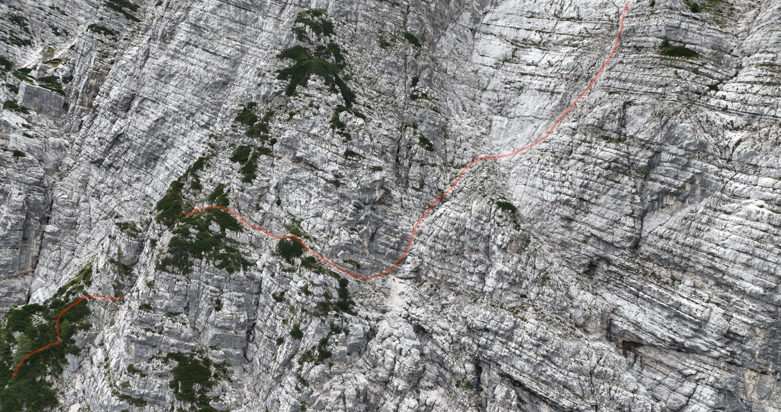
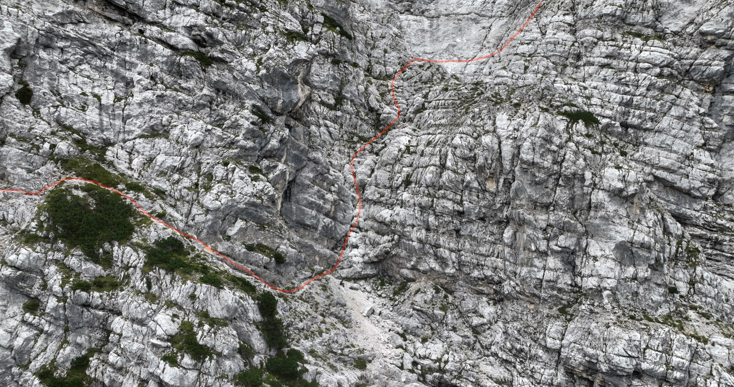
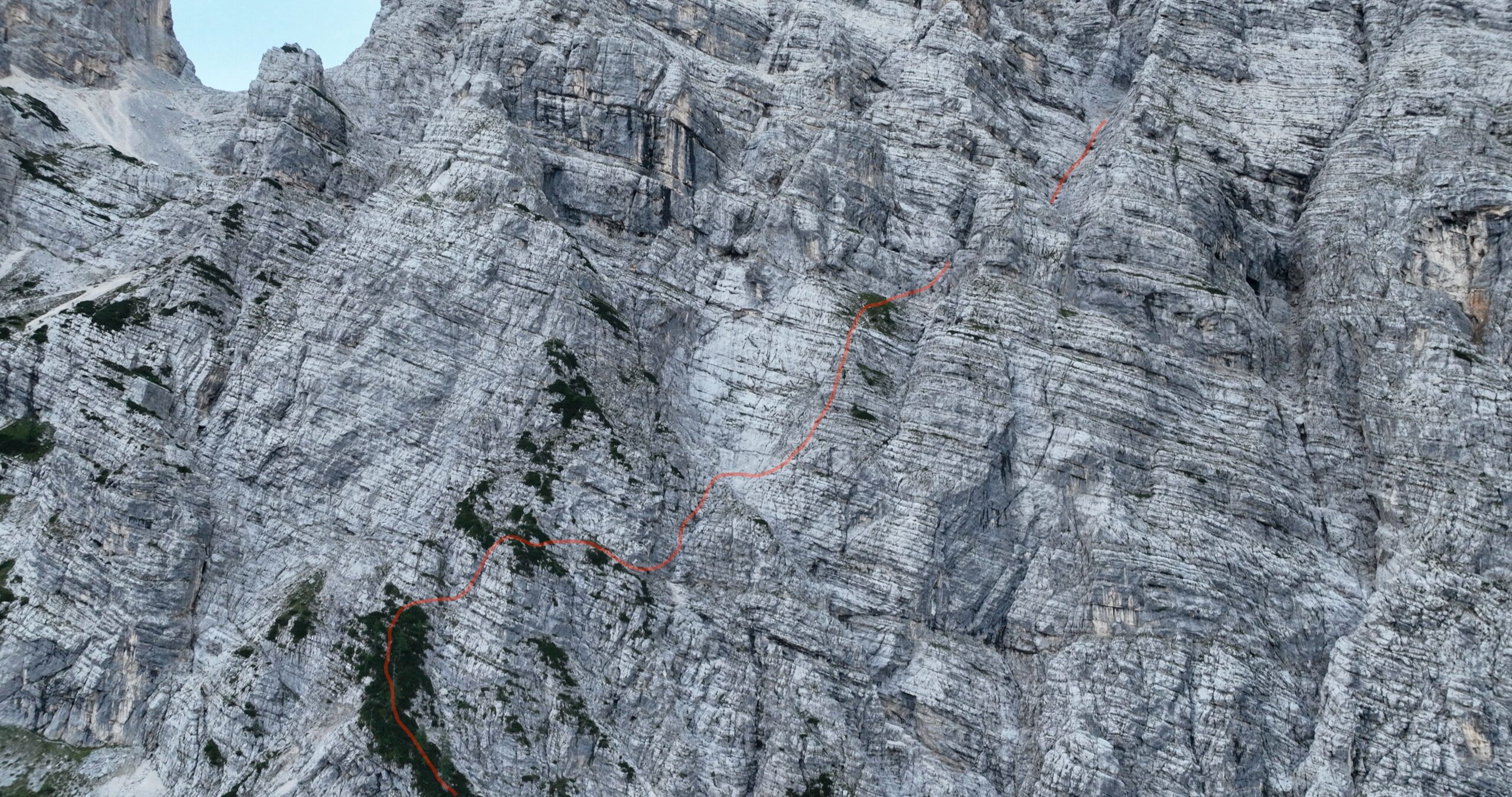
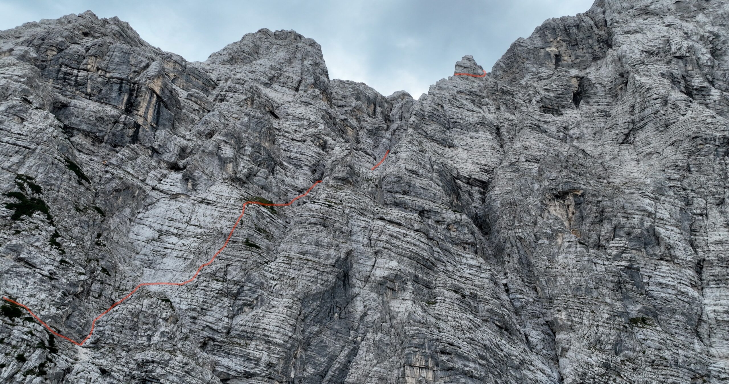
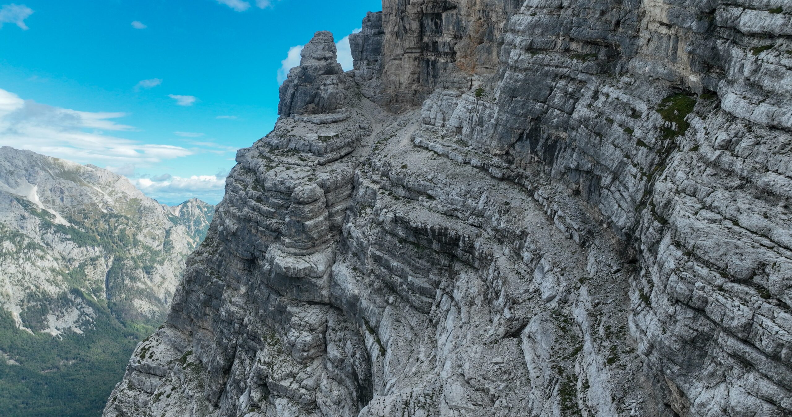
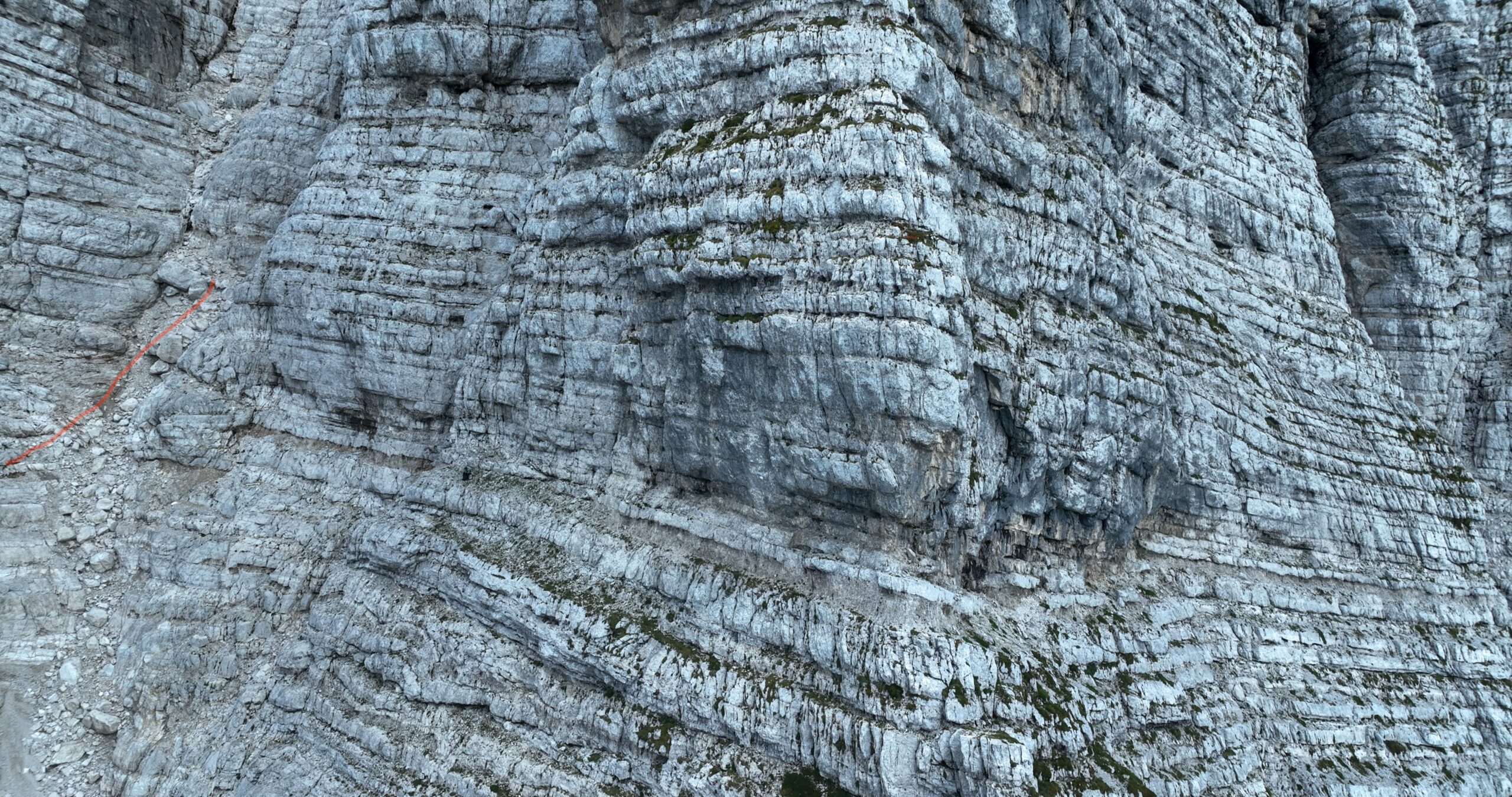
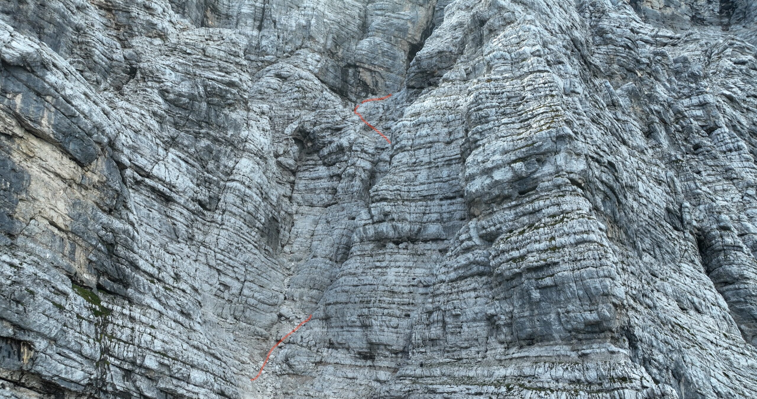
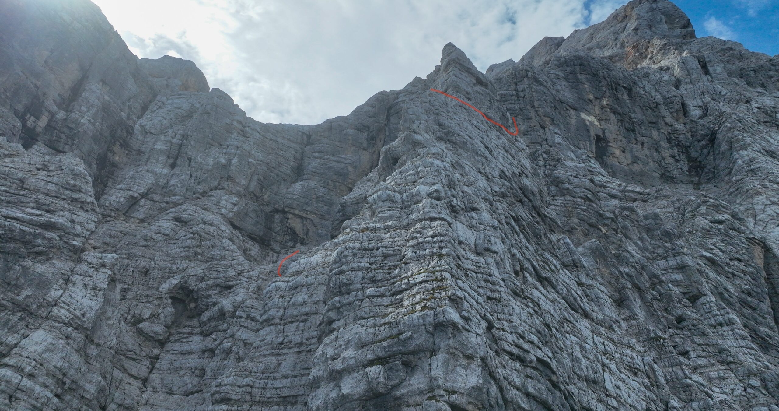
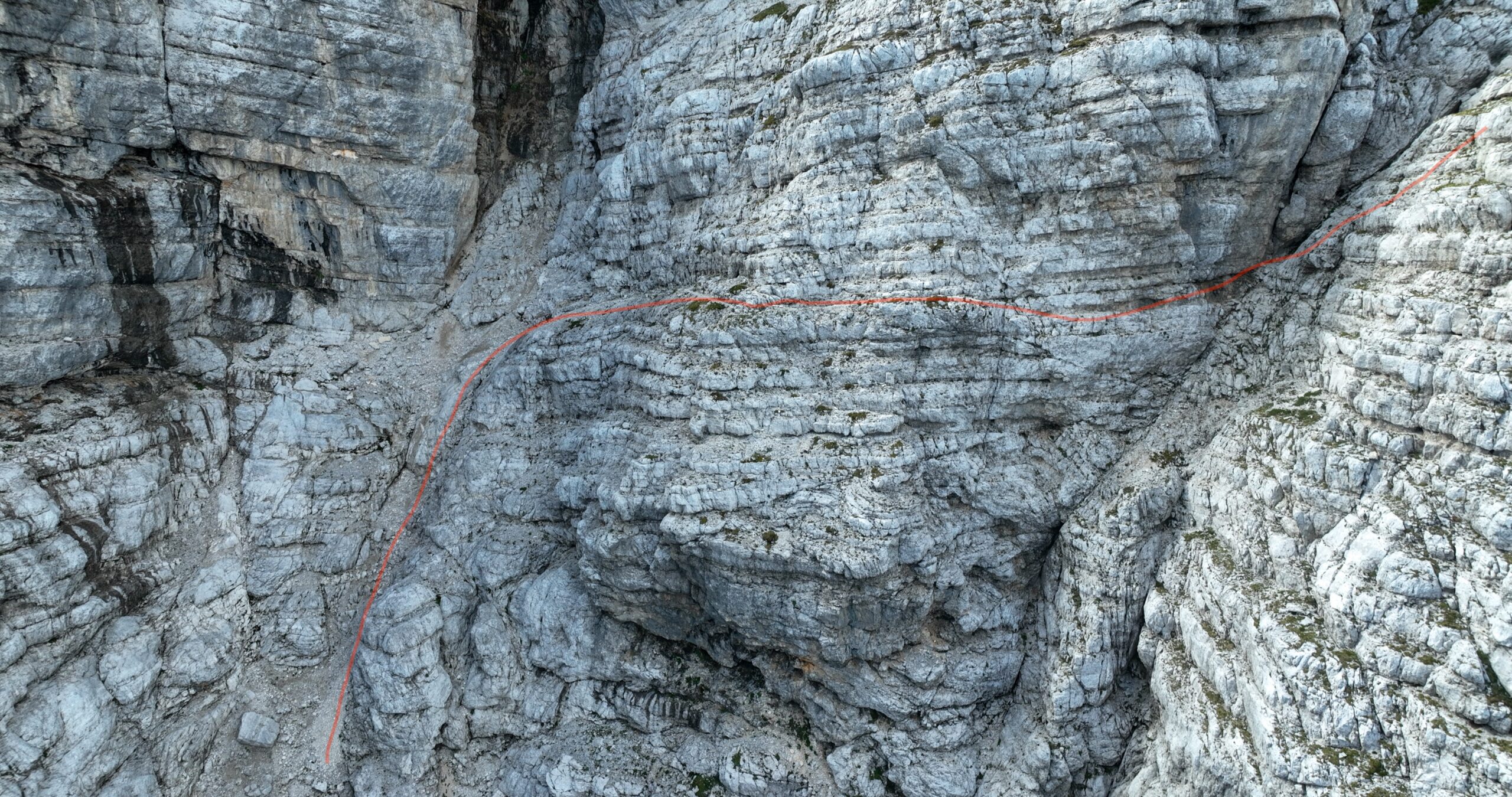
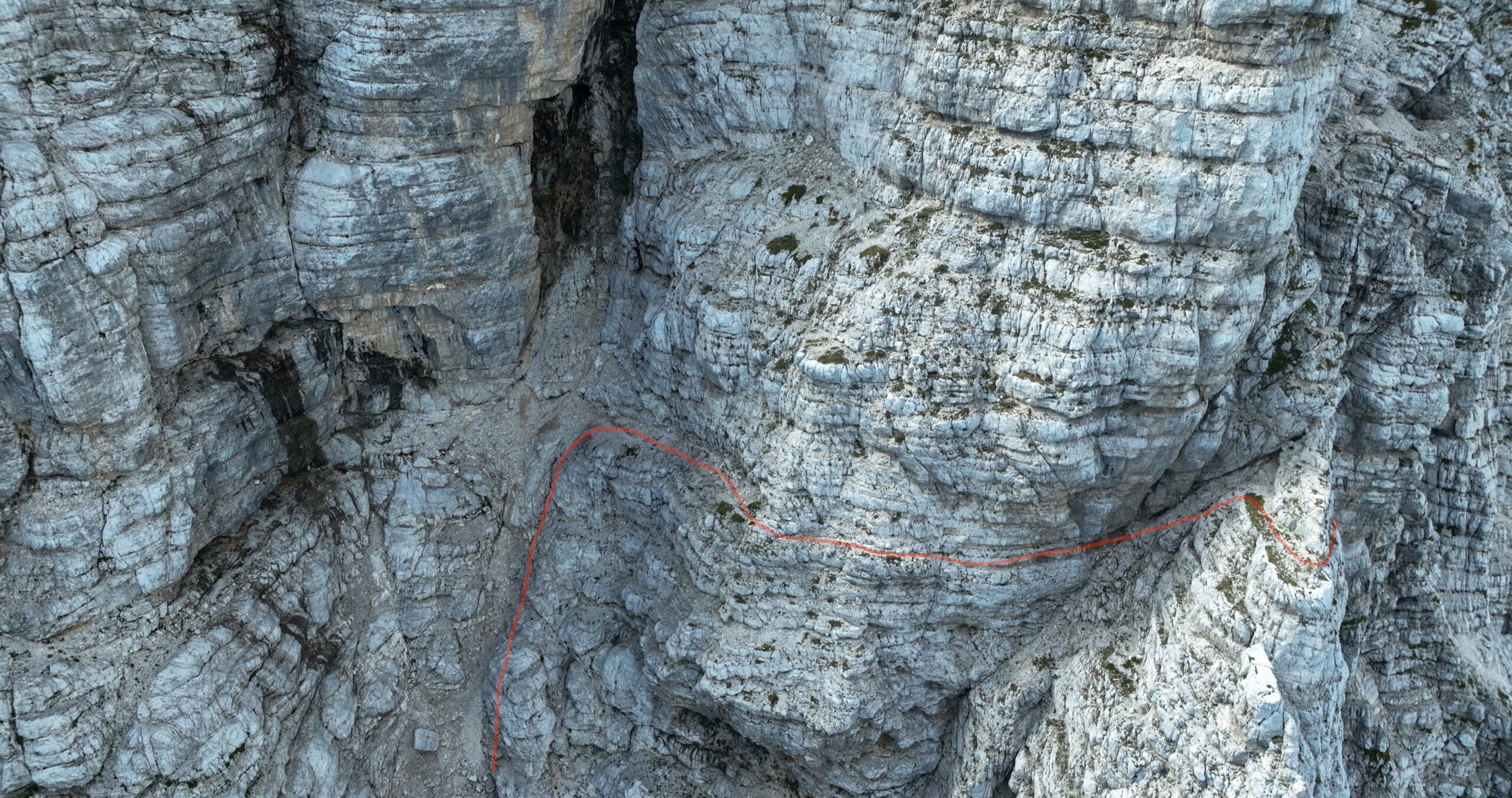
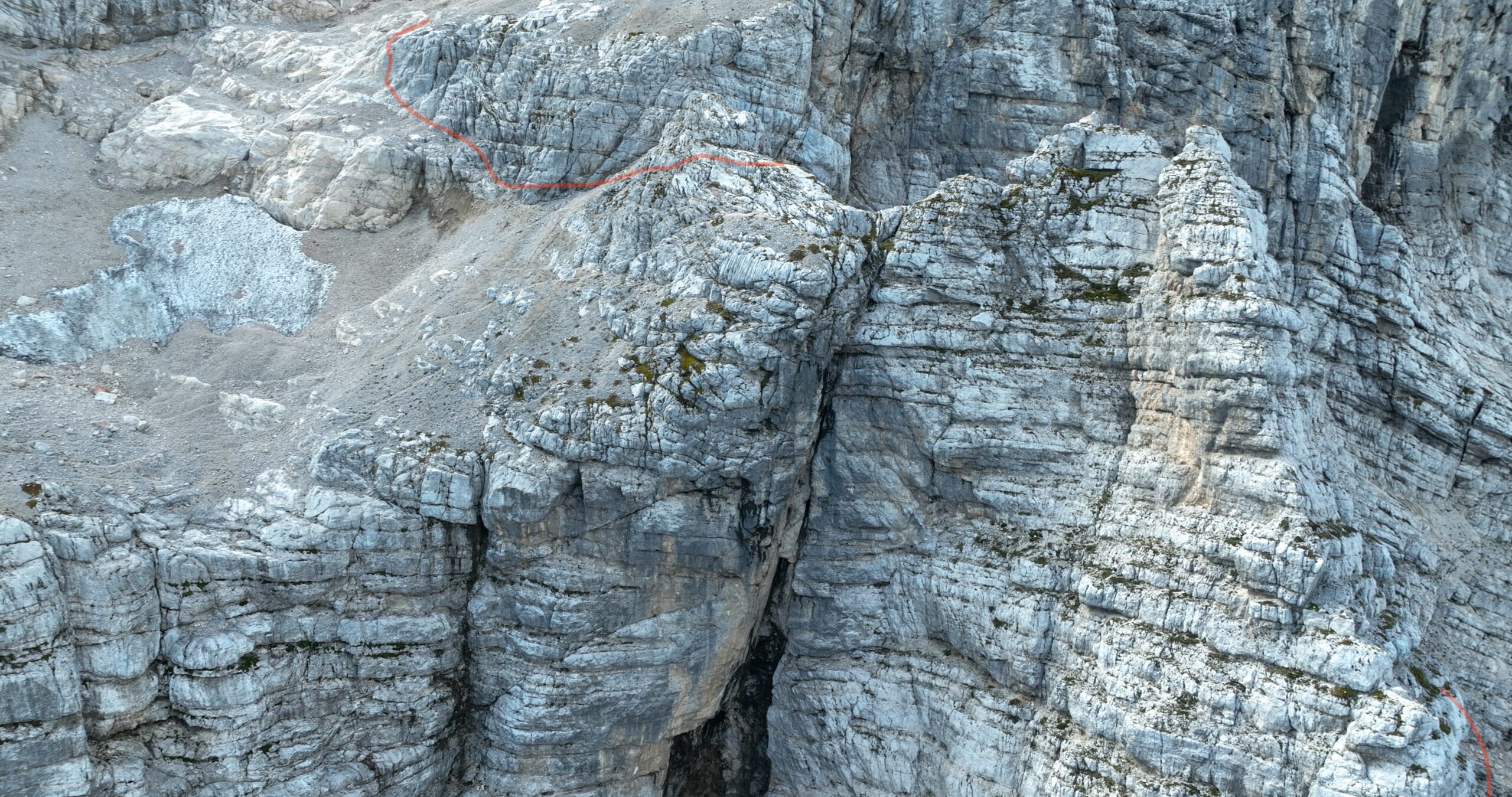
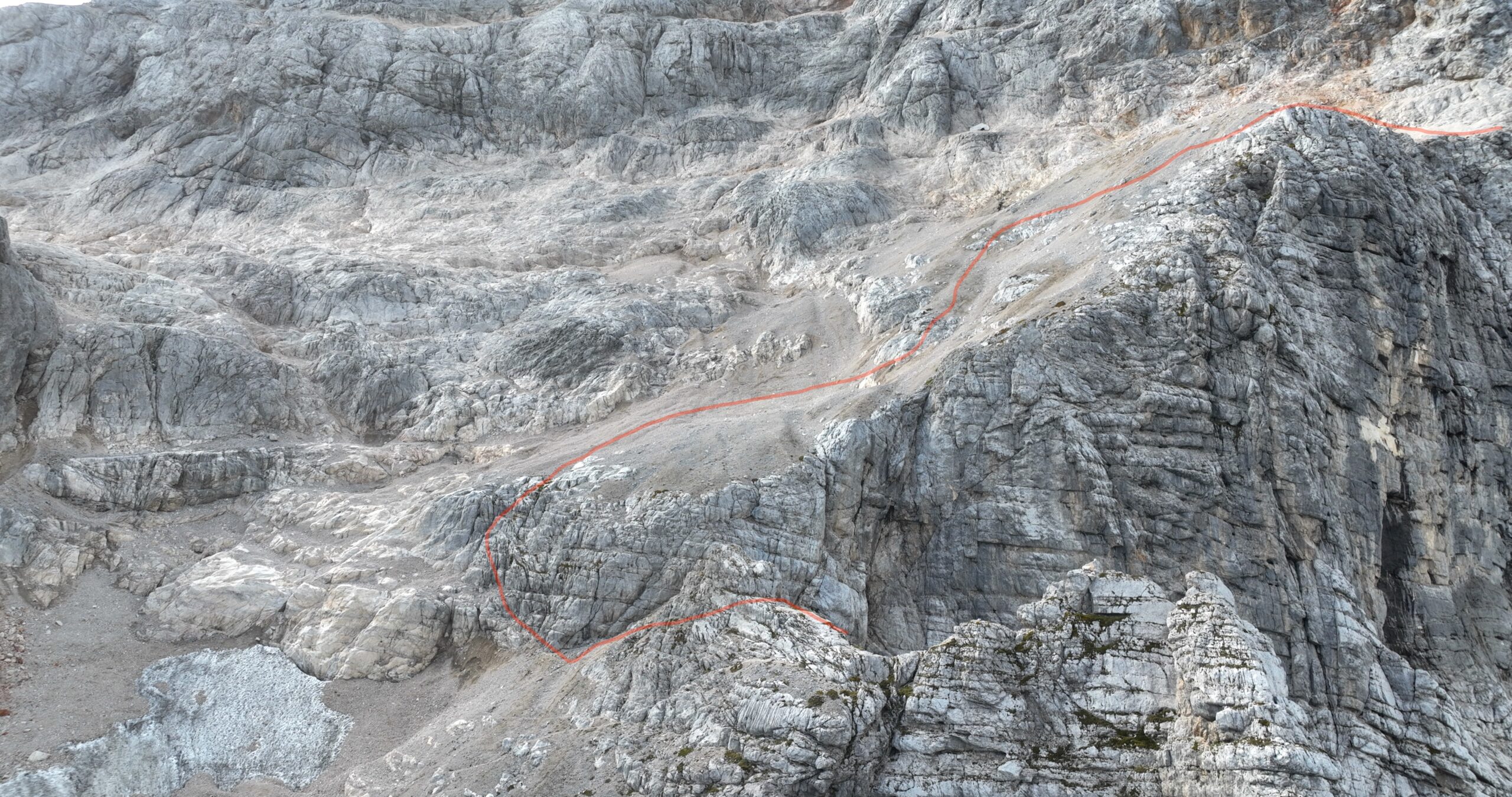
These drone images are intended to complement a climbing topo, not replace it entirely. Planning to climb the route yourself? I recommend getting a guidebook such as Stena (The Wall). It contains detailed topos of the climbing routes on Triglav’s north face.
The guidebook Stena (The Wall)
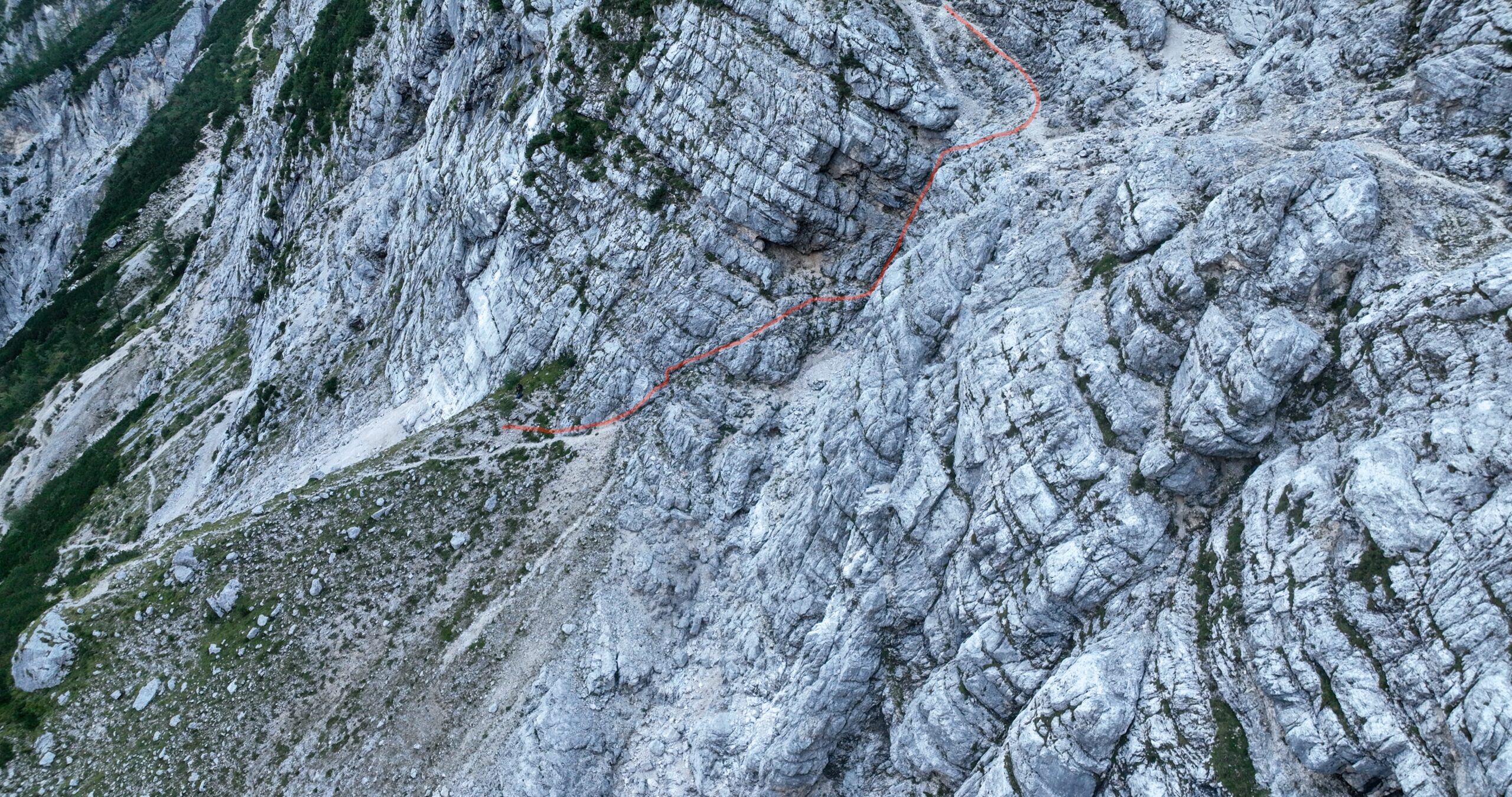
Disclaimer: Drone images don’t always make it easy to pinpoint exactly where a route is, or precisely where I walked and climbed. I’ve used red markings to trace the actual route as accurately as possible, but some deviations may remain.
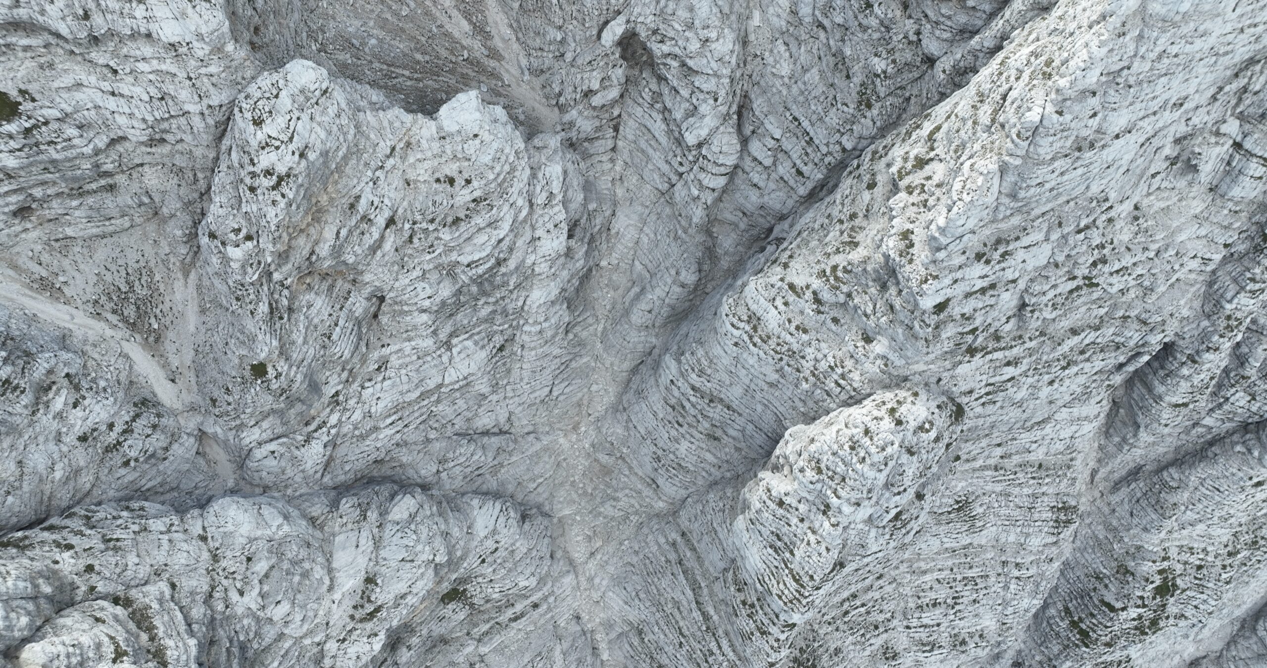
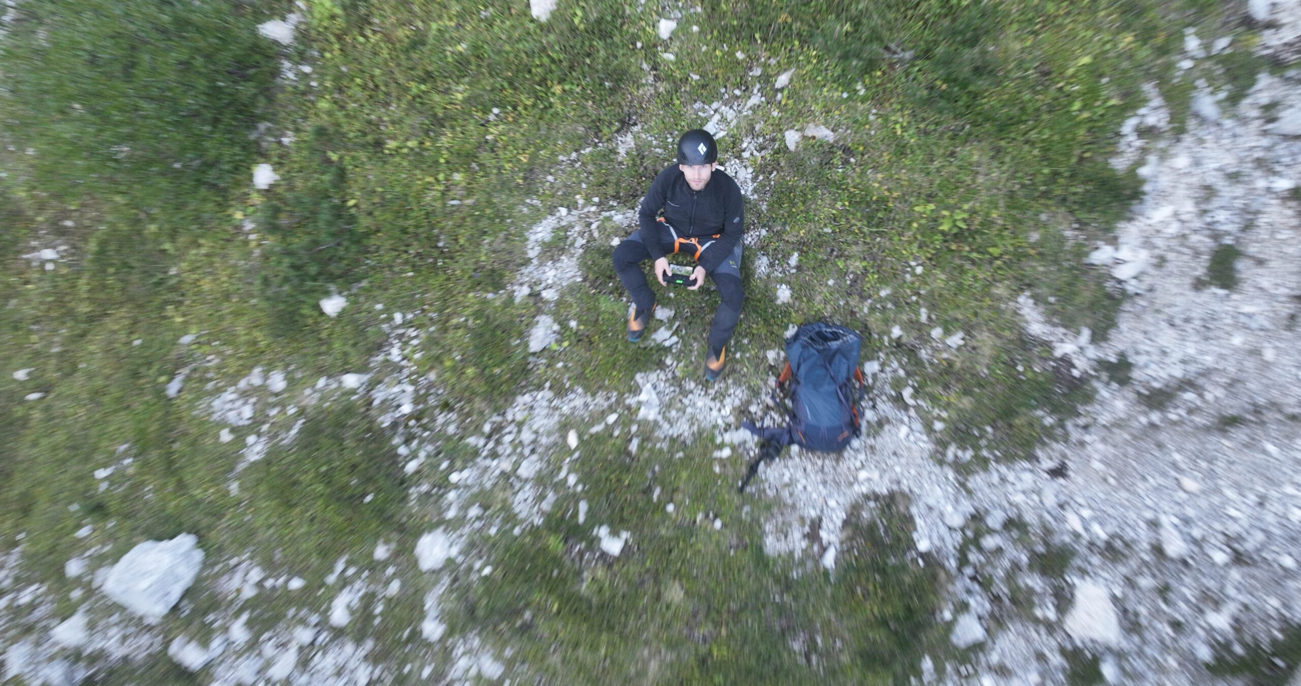
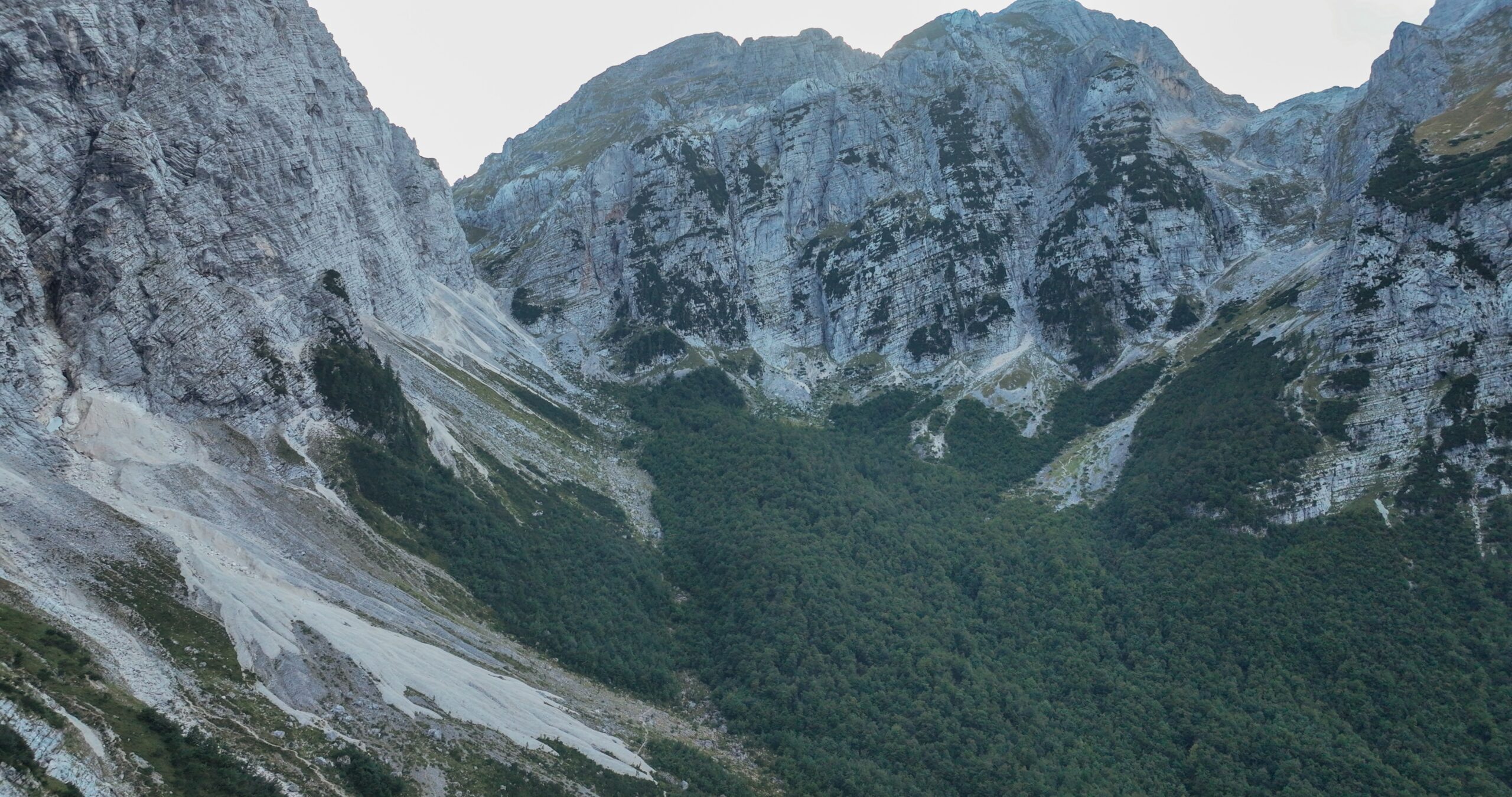
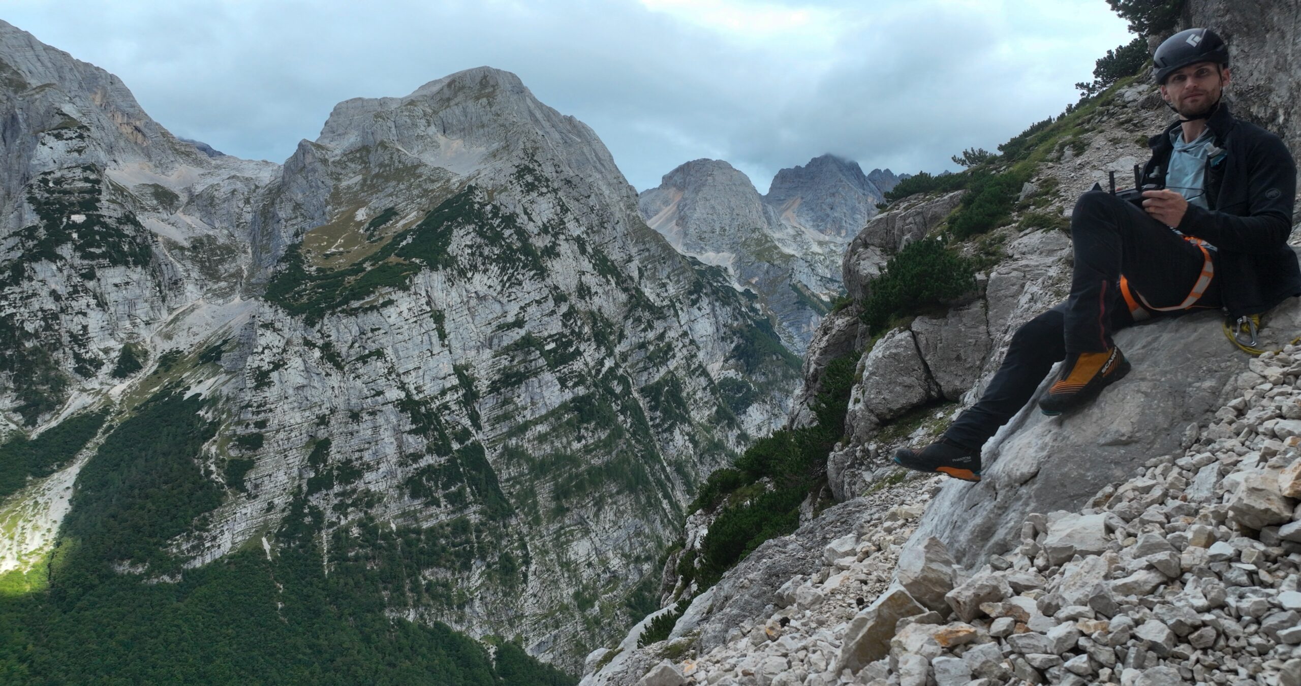
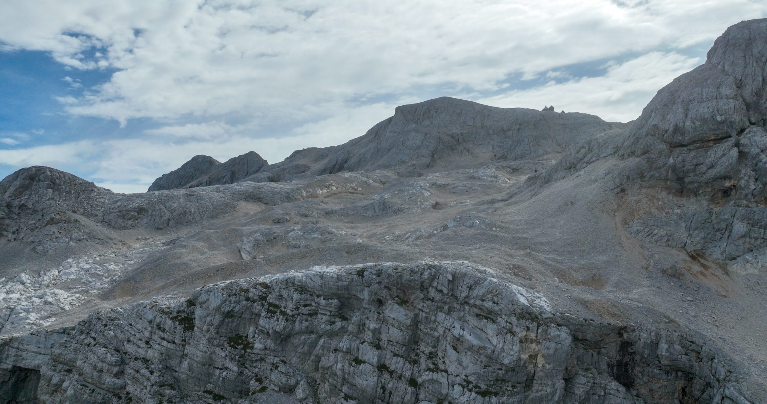
All images were captured on Monday, 14 September 2026Looking out over the far end of the Vrata Valley from the start of the routeThe start of the route: head up, then leftThe start of the route, viewed a little more from the frontThis is one of several route variations, passing through the larch treesThere are several green strips on the face. Aim for the one furthest to the left, where the trees areLooking down towards the start of the route from above the larch treesThe start of the section through the larch treesAt the end of the larch section, head back to the right and continue climbingFrom the larch trees, head right and upwards towards the Bele platiThe traverse from the larch trees to the climbing section below the Bele platiA short climbing section below the Bele platiAt the Bele plati, head up on the right towards the Slovenska grapaFrom the Bele plati, climb through the Slovenska grapa, continue upwards and then take the Frelih Exit, traversing rightFull concentration while landing the drone, making sure the propellers don’t hit the rocksRemarkably rough and jagged rock formations on the faceWide rock ledges lead off to the right, but the route climbs up to the left through the Slovenska grapaAfter the Slovenska grapa, continue climbing towards the Frelih Exit. You can either climb through the rock window or go around it on the leftJust before the final steep wall, the Frelih Exit begins with a traverse to the rightThe Frelih Exit, traversing to the rightThe notorious Frelih Traverse!The Slovenian Route finishes on the far side of the pillar, with a lunar landscape stretching out aboveTriglavski dom na Kredarici in the distance, high above the scree slopes in the lunar landscapeAfter completing the Slovenska smer, the ascent of Triglav continues along the western side of the north ridgeFocusA quick smile for the camera